Why investigate the layout?
Older buildings and altered properties can have drainage routes that are not obvious at the surface. Chambers may be covered, branches may be inaccessible and previous drawings may not reflect later changes.
Drainage investigation can help establish how accessible sections connect and provide clearer information for repair or alteration discussions.
A plan needs evidence and limitations
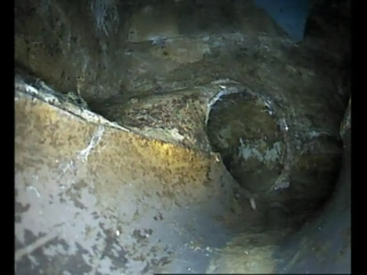
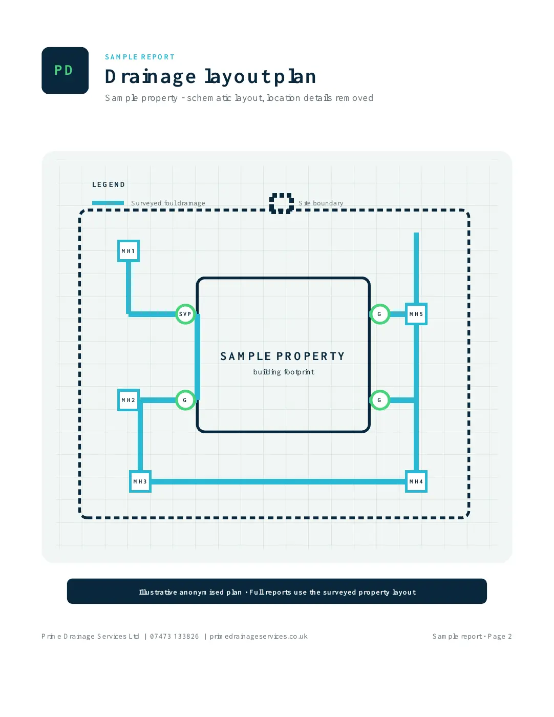
Known access points, CCTV observations and appropriate tracing methods can help build a drainage layout. The useful output distinguishes confirmed findings from routes that could not be verified.
Ask how locations are established and what level of detail is included. Where depth or invert information is needed, agree that requirement when booking rather than assuming every sketch contains it.
It is not a survey of every buried service
A drainage layout focuses on the investigated drainage. It does not establish the position of all electricity, gas, water or communications services.
It is also different from a topographical survey of the wider site. If a designer or authority asks for a particular drawing format or coordinate information, send the actual requirements before arranging the work.
When it can help
Mapping can support investigation of unknown connections, planning of drainage repairs and discussions about property alterations. The findings still need to be used alongside any relevant design and permission requirements.
Send Prime the postcode, purpose of the investigation, known chamber locations and any existing drawings. If an access point is buried, describe that separately so investigation can be discussed.